While its exact construction date has been difficult to pin down due to the absence of any sort of inscription, the aqueduct (and aqueduct bridge) is generally believed to have been constructed around 1st or 2nd century A.D. Many of the magnificent aqueducts of the Roman Empire have disintegrated leaving only ruins and piers to mark their existence. Of the few still standing, Segovia’s aqueduct is not only remarkably well-preserved, but it continued to supply water to the city from the Frio River well into the 20th century.
Detrimental reconstruction occurred in the 15th and 16th centuries, and not until the 1970s and 1990s was there urgent conservation intervention. The aqueduct was inscribed on the World Heritage list in 1985 and stands prominently in the urban landscape of Segovia. The Aqueduct of Segovia remains one of the most intact Roman aqueducts in Europe.
 |
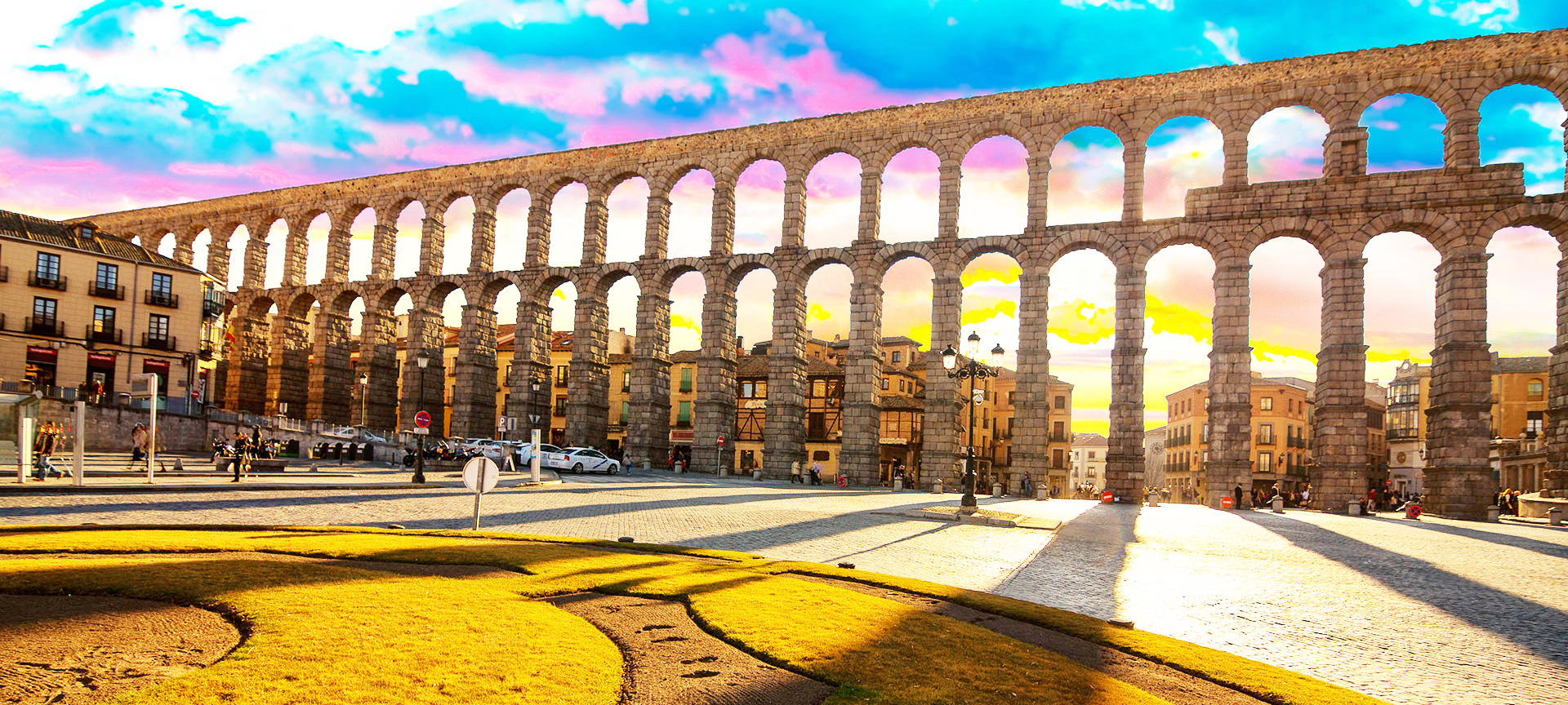
ConstructionThe impressive construction, with its two tiers of arches, forms part of the magnificent setting of the historic city of Segovia. During the Roman era, each of the three tallest arches displayed a sign in bronze letters, indicating the name of its builder along with the date of construction. The aqueduct was designated part of the Segovia World Heritage site in 1985. It carries water 10 miles (16 km) from the Frío River to the city of Segovia, Spain. The top of the structure contains the channel through which water travels, through a U-shaped hollow measuring 0.55 tall by 0.46 metre diameter. |
It is an enormous construction of masonry, 813 m (2,950 ft.) in length, consisting of four straight segments and two superimposed arcades borne by 128 pillars. The aqueduct bridge at its highest point, is almost 94 ft. tall, and is made up of 167 arches supported by pillars.
|
One of the best-preserved Roman engineering works, it was built of some 24,000 dark-coloured brick-like Guadarrama granite blocks without the use of mortar. The colossal granite blocks are joined without use of mortar or clamps, ingeniously held together by balancing forces. The design follows the guidelines laid out by Roman architect and engineer Vitruvius in his 15 B.C. multi-volume architecture guide, De Architectura. The first section of the aqueduct contains 36 semi-circular arches, rebuilt in the 15th century to restore a portion destroyed by the Moors in 1072. The line of arches is organized in two levels, decorated simply, in which simple moulds hold the frame and provide support to the structure. On the upper level, the arches are 5.1 metres (16.1 ft) wide. Built in two levels, the top pillars are both shorter and narrower than those on the lower level. |
 |
The top of each pillar has a cross-section measuring 1.8 by 2.5 metres (5.9 by 8.2 feet), while the base cross-section measures 2.4 by 3 metres (7.9 by 9.8 feet).
2006 World Monuments Watch
Because of differential decay of stone blocks, water leakage from the upper viaduct, and pollution that caused the granite ashlar masonry to deteriorate and crack, the site was listed in the 2006 World Monuments Watch by the World Monuments Fund (WMF).
Conclusion
This aqueduct is a fitting symbol of the mission of CTTS. The hydraulic and construction technologies represented in this structure and mastered by Roman engineers were “lost” for centuries after the demise of the Roman Empire. Yet both the structure itself and the entire water system it was part of continued to function throughout the centuries. The inability of later generations to replicate such projects until the modern era demonstrates how even possession of a particular technology does not guarantee the ability to master its technical “secrets.”